Program Goals
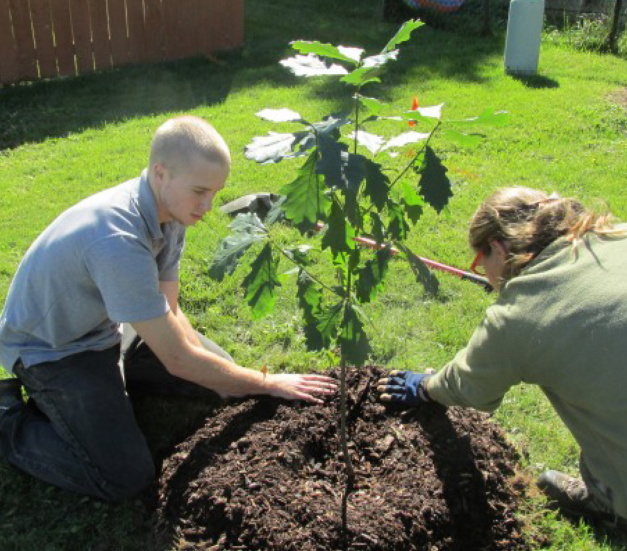
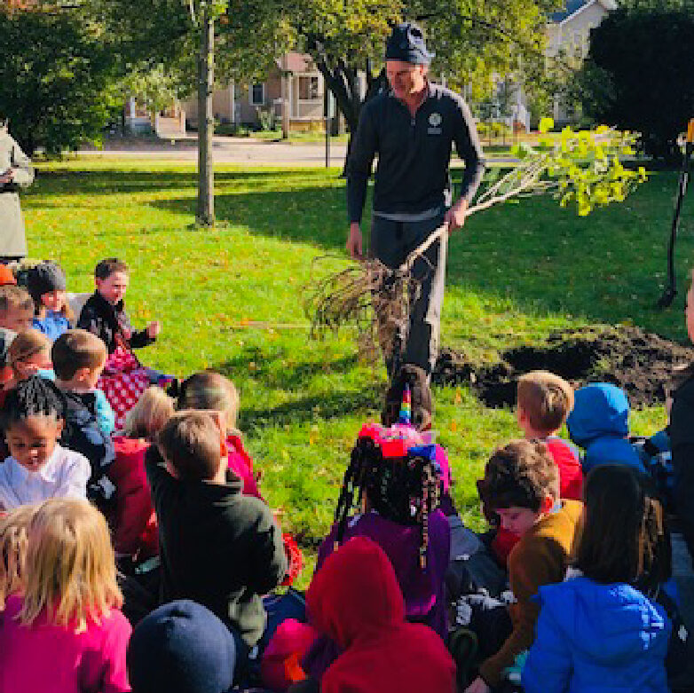
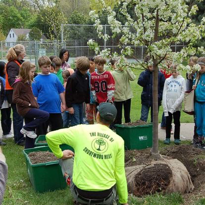
With your help, we aim to provide information about urban arboriculture and opportunities for volunteers to directly engage with our urban forest. We periodically organize planting events and advertise opportunities to help with ongoing programs. We look forward to hearing from people interesting in helping the UTA with all manner of skills.
Planting Map
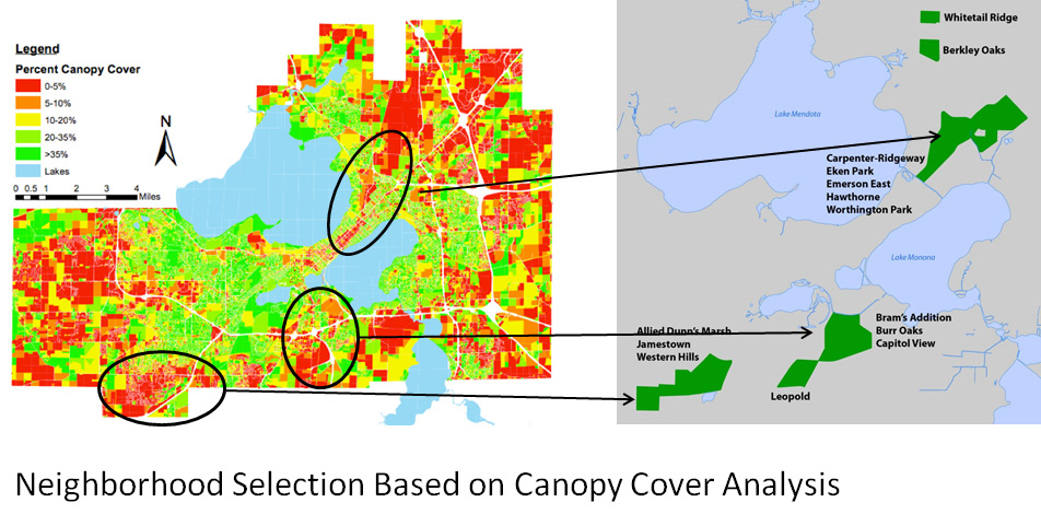
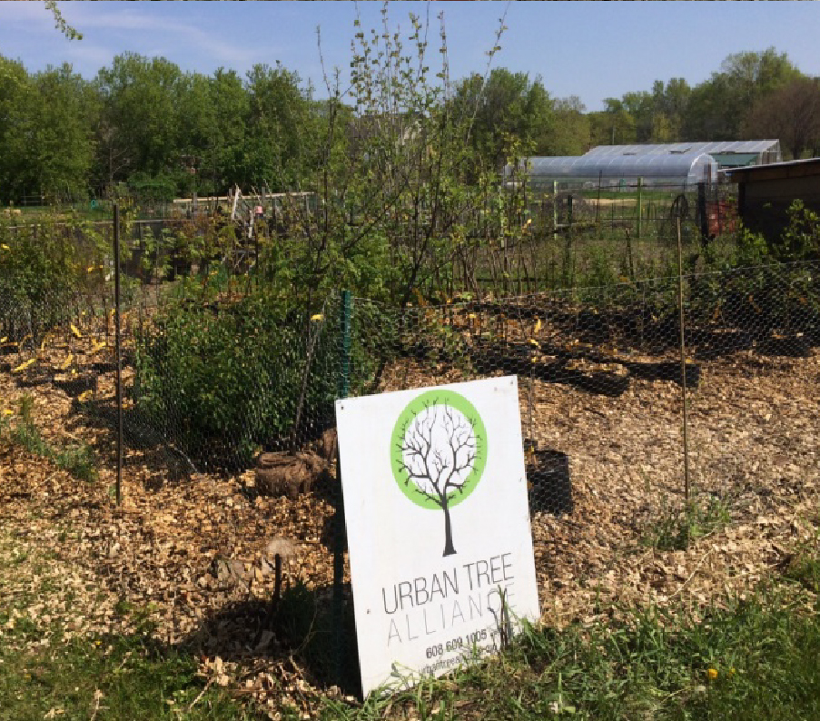
The Urban Tree Alliance runs tree planting, urban tree management planning, and urban forest research programs. Our work and programs are organized into Canopy Projects, Housing Partnerships, and Forest Patches. More information on each can be found in the sections to the left.
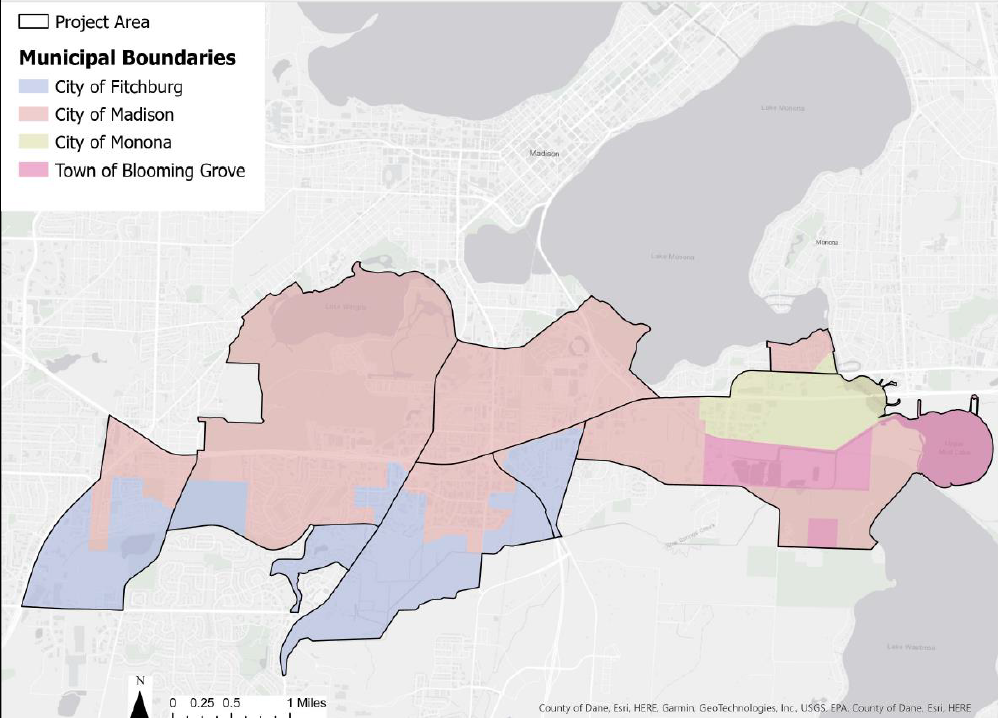
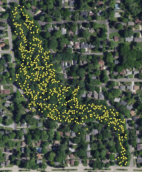
This map illustrates the locations of the approximately 1100 trees planted by the Urban Tree Alliance. We plant trees in areas where human benefits are maximized and tree interests are underrepresented. We work with private homeowners in neighborhoods with low canopy cover, schools, public lands, multi-family housing providers, and community organizations.
Canopy Projects

Housing Partnerships
2020-PRESENT
The Urban Tree Alliance partnered has partnered with the City of Madison Community Development Authority (CDA), the Dance County Housing Authority (DCHA), and Common Wealth Development Inc. to enhance canopy growth in multi-family housing communities. The UTA completed urban forest masterplans for the CDA and DCHA. We’ve also planted approximately 80 trees with the CDA and Commonwealth.
IN THE NEWS
Wisconsin DNR Forestry News: Trees for all: Madison nonprofit serves multi-family residences
Capital City Hues: The Front Line Against Climate Change

Forest Patches
2022-PRESENT
In 2022, the UTA began the Forest Patches Project, a multi-city urban forest analysis that focuses on contiguously forested lands within Madison and Middleton, WI. Urban forest patches haven been defined as places where forest vegetation is spontaneously regenerating in urbanized regions. The patches may be unmanaged or deliberately managed to maintain forest cover.
Across the project area, comprehensive LIDAR-based mapping will identify the locations, ownership, and sizes of forested lands that are a minimum of 3 acres. Of these forested lands, 5 separate properties will be inventoried for individual tree data. The properties are separately owned by the Madison School District, Wisconsin Co-operative Housing Association, the City of Middleton Park Department, and the City of Madison Departments of Parks and Engineering. Data gathered on these properties will provide new insight in to species diversity and succession trends. The composite will be further analyzed with I-Tree Eco, and urban forestry software, to model the tree’s eco-benefits, such as carbon capture.
